Ocean Survey
OTRONIX provides onshore, offshore survey for underwater cable and pipe construction such as Hydrographic, Geological, Diver, Landfall survey.
Also we provide navigation, positioning support and sunken property searching services.
 Offshore cable, pipe route survey
– Offshore hydrographic survey
– Offshore geological survey
– Diver survey
– Onshore survey
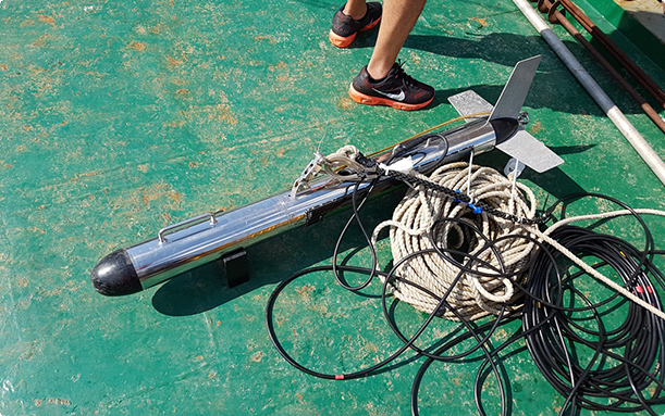
Side Scan Sonar Operation
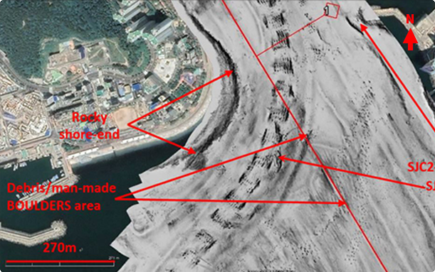
Side Scan Sonar data (Busan)
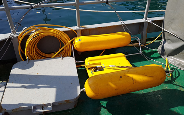
Sub-Bottom Profile Operation
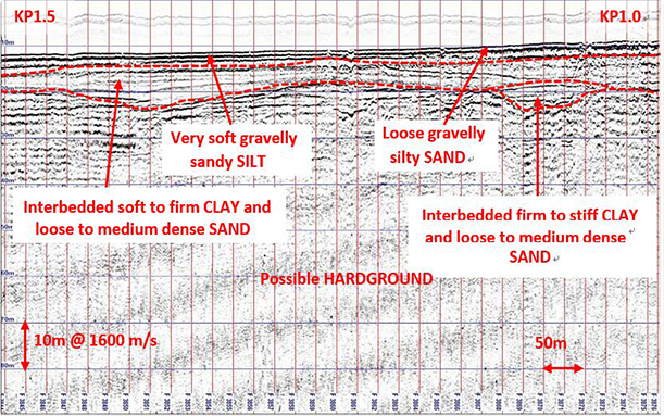
Sub-Bottom Profiler Data (Busan)
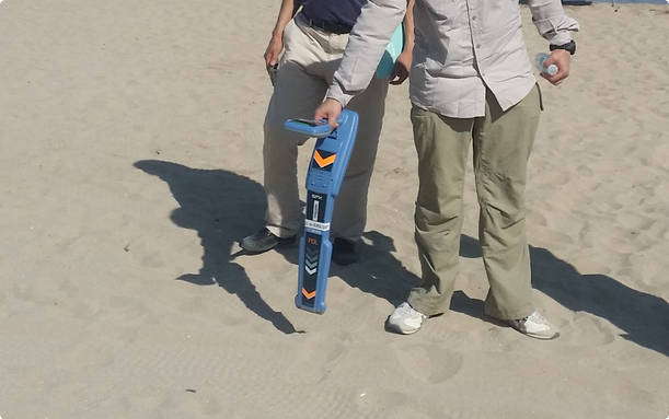
Optical cable beach survey
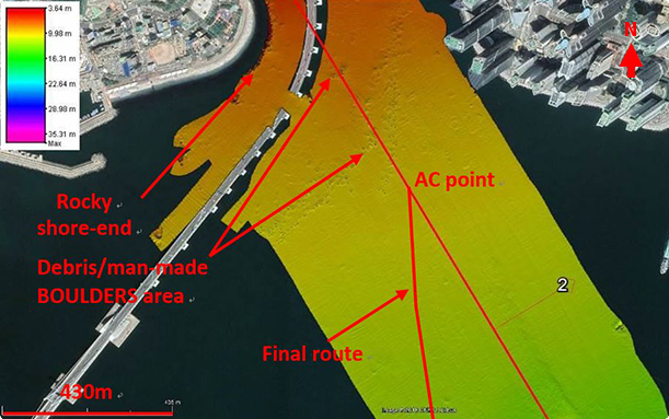
Multi-beam Echo Sounder Data (Busan)
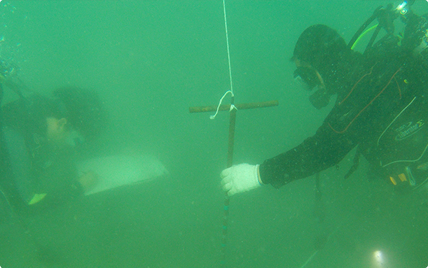
Diver Survey
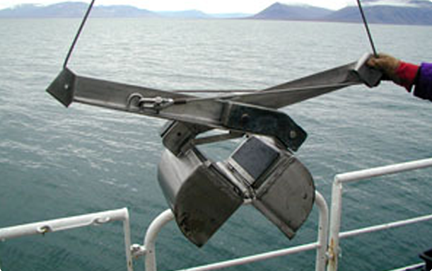
Grab sampling
 Navigation and positioning support
– Barge navigation support
– Anchor Tug positioning support
– Monitoring station positioning support
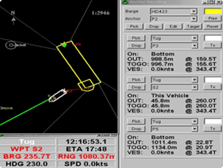
Navigation software operation
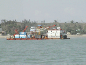
Barge navigation support
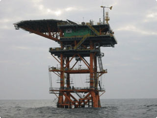
Ieodo station positioning support
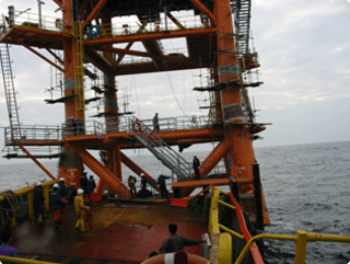
Ieodo station positioning support
 Underwater sunken vessel, equipment searching
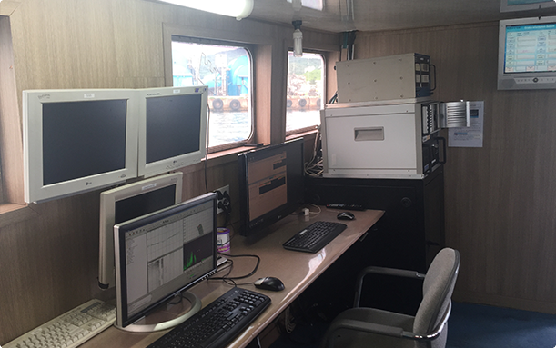
R/V Tamsa2 Observation room
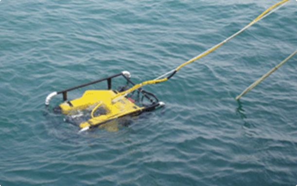
ROV operation
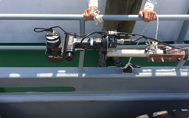
Motion scan operation (R/V Tamsa2)
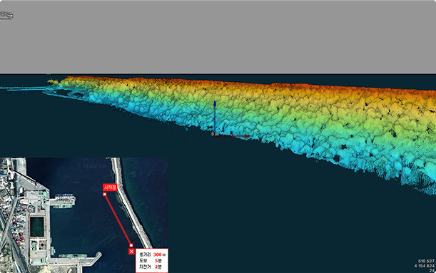
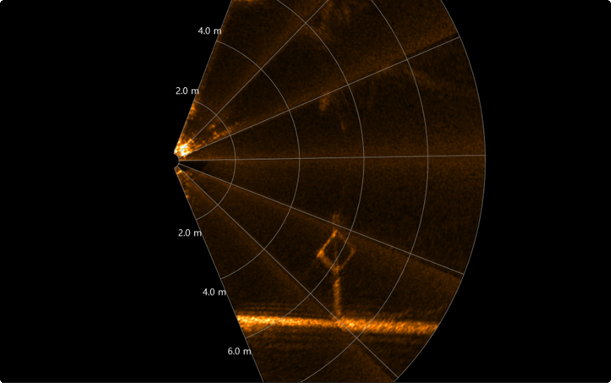
Motion scan image sonar data (Mukho port)
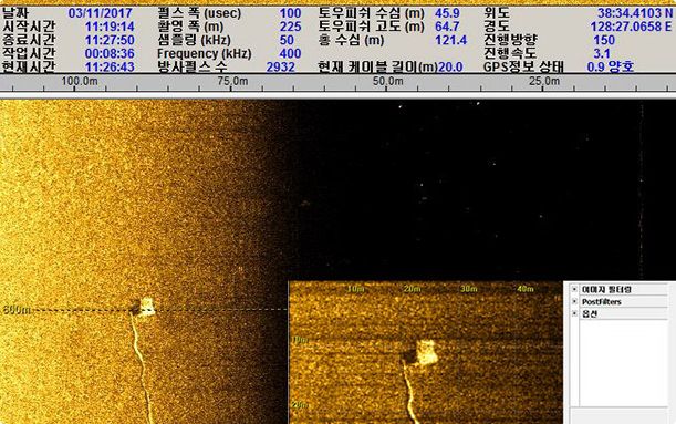
Underwater sunken equipment searching SSS data
